Drones
Enterprise Drones in 2026: LiDAR, Thermal and Docking Stations Explained
A buyer's guide to professional drone payloads and autonomous docks for inspection, mapping and public safety.
· 3 min read
Key takeaways
- Thermal cameras find heat leaks, people and faulty equipment.
- LiDAR maps terrain even under vegetation.
- Docking stations let drones fly scheduled missions with no pilot on site.
- High-end systems are usually quoted per project.
Multi-sensor cameras
Modern payloads combine wide, zoom, thermal and a laser rangefinder in one gimbal, so a single flight captures everything an inspector needs.
LiDAR mapping
LiDAR fires laser pulses and builds a 3D point cloud. Unlike photos, it can see the ground through gaps in trees — ideal for surveying and forestry.
Pro tip: Lightweight LiDAR units let you use a smaller, cheaper drone.
Thermal inspection kits
Thermal drones are the fastest way to inspect solar farms, roofs and power lines.
Drone-in-a-box
Docking stations charge the drone and launch it on a schedule, turning aerial monitoring into an automated service.
Autonomous docks for other platforms
Docks are also available for other professional drones, for organizations that need repeatable aerial monitoring.
Frequently asked questions
Products mentioned in this article


Keep reading

Electronics
Noise-Cancelling Headphones Buying Guide: What Actually Matters
Hybrid ANC, codecs, battery life and multipoint explained — how to pick wireless noise-cancelling headphones without overpaying.
7 min read
Components
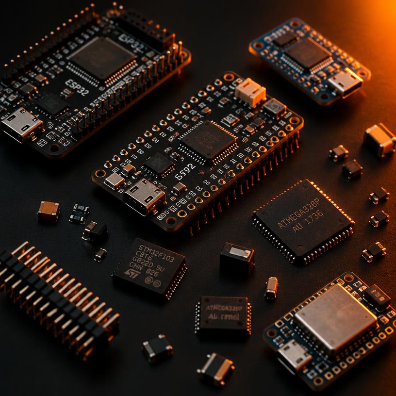
ESP32-S3 vs STM32: Which Microcontroller Should You Use?
A practical comparison of ESP32-S3 and STM32F411 boards for IoT, robotics and maker projects — connectivity, power, tooling and price.
9 min read
Carbon Fiber & Materials
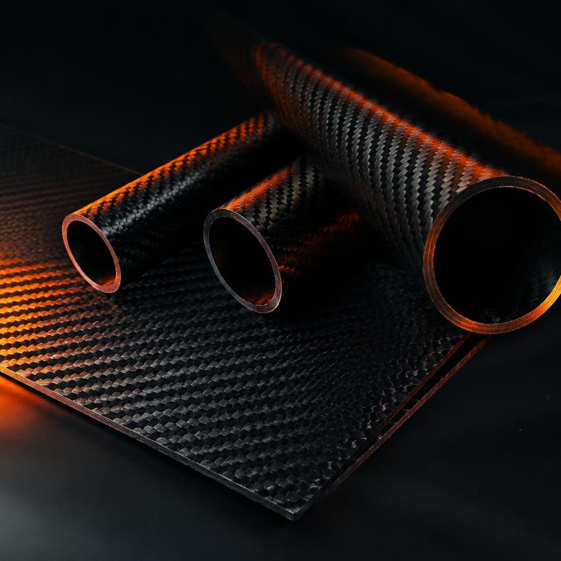
Carbon Fiber Sheets Explained: 3K Twill, Thickness and CNC Tips
What 3K twill means, how to choose carbon fiber sheet thickness, and how to cut and drill carbon fiber safely for drones, RC and builds.
8 min read